Maps
Insights, guides, and news from Purple about maps.
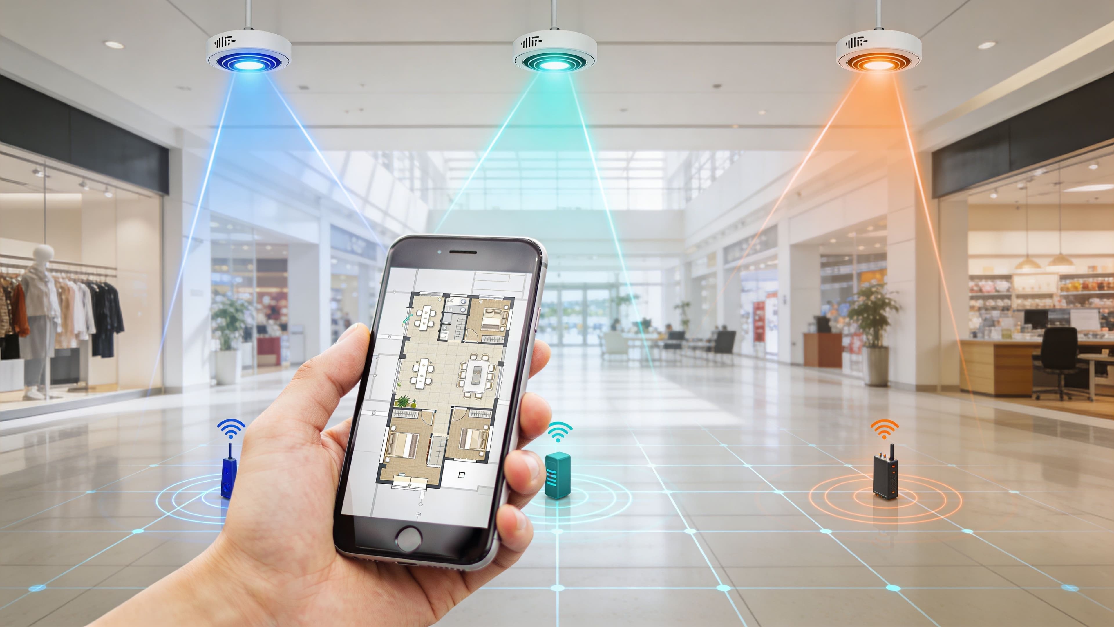
Indoor Positioning System: UWB, BLE, & WiFi Guide
Learn how an indoor positioning system (IPS) works. Compare UWB & BLE tech, explore use cases, & see WiFi integration. Maximize indoor navigation efficiency.
Purple unveils new platform packs to streamline affordable, tailored Guest WiFi and Maps platforms
The new approach consolidates Purple's existing modules into packs designed to empower businesses to meet and exceed changing guest expectations at an affordable price point without sacrificing quality or posing security risks.
What is Blue Dot Navigation?
Blue Dot Navigation displays your real-time position as a blue dot on digital maps. If you use Apple Maps or Google Maps, you've likely used Blue Dot navigation
What is Indoor Mapping and Wayfinding?
Indoor mapping and wayfinding help users find their way through indoor settings like shopping malls, airports, hospitals, and large office buildings. They digitally crea
How Wayfinding Technology Can Improve Airport Operations
Wayfinding technology in airports helps passengers navigate airport spaces efficiently. Several components underpin this technology: Digital Signage: Electronic
Purple Recognized as a Visionary in Gartner Magic Quadrant for Indoor Location Services
Company achieves recognition for the third consecutive year Purple, the intelligent spaces company, today announced its recognition as a Visionary in the 2024

What is Asset Tracking?
Asset tracking is a method businesses use to keep tabs on their physical assets, such as equipment, vehicles, and inventory. It involves tagging assets

Airport Wayfinding
Airport Wayfinding encompasses the systems and methodologies employed to guide people through an airport efficiently and safely.
What is WiFi RTLS and How Does It Work?
RTLS operates by tagging objects or individuals with devices that emit signals. These signals are then captured by a network of receivers that calculate the tag
Real-Time Location Services
What is a Real-Time Location System (RTLS)? A Real-Time Location System (RTLS) is a technology that identifies and tracks the location of objects and people in

What Is Wayfinding?
Wayfinding refers to the methods and processes used to guide people through a physical environment and enhance their understanding and experience of the space.

Navigating with Ease: How Digital Wayfinding Transforms the Airport Journey
From Labyrinthine Maze to Stress-Free Stride: Embracing the Digital Wayfinding Revolution Airports, once daunting labyrinths, are embracing a technological
Indoor Location Tracking to reach $24BN by 2027
Over the past 10 years, this term and the market have evolved to include a host of indoor location services such as Digital Wayfinding, Asset Tracking, and more
Accessibility Essentials for Real-Time Location Services
Navigating unfamiliar places can be a challenge for everyone, and more so for those with accessibility needs. Finding suitable routes to access a venue
Navigating the Indoors: The Challenges of indoor positioning technology
The Babylonian World Map is believed to be humanity's first attempt at depicting the known world. Etched into clay tablets and estimated to date as far back as
CentraCare Partners with Purple to Implement a New Digital Wayfinding Solution to Support Patient Experience at St. Cloud Hospital
CentraCare has selected Purple as an approved vendor for digital wayfinding at CentraCare - St. Cloud Hospital. The collaboration of these two innovative
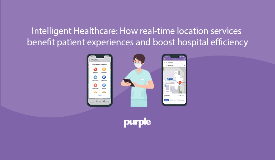
Intelligent Healthcare: How real-time location services benefit patient experiences and boost hospital efficiency
95% of hospitals are planning to increase their utilization of real-time locating technology. By implementing additional solutions, healthcare facilities will
Ochsner Health Selects Purple Digital Wayfinding System to Enrich Patient, Visitor, and Staff Experience
Ochsner Health has selected Purple's Digital Wayfinding solution to be integrated into their flagship hospital, Ochsner Medical Center, located at 1514 Jefferso
See Purple in action
Book a 20-minute demo and we'll show you how Purple's guest WiFi, captive portal, and analytics platform works for a venue like yours.
Go deeper with our WiFi guides
These step-by-step guides cover the topics behind the articles above, from setup to security and analytics.