Maps
Insights, guides, and news from Purple about maps.
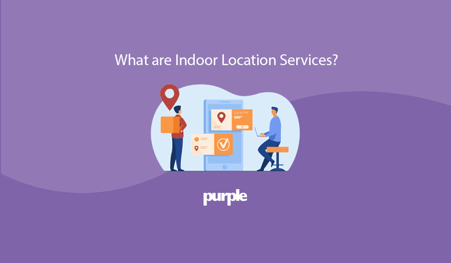
What are Indoor Location Services? Updated for 2023
Indoor location services allow for the tracking of people and objects within a set space through the combination of hardware and software technologies.
Digital Wayfinding - One small step for the NHS but a big step for patient and staff empowerment by Mike Farrar
While digital wayfinding may not as yet be common parlance in the NHS, it may be that its emergence in the coming years heralds a mindset shift of sizable pro
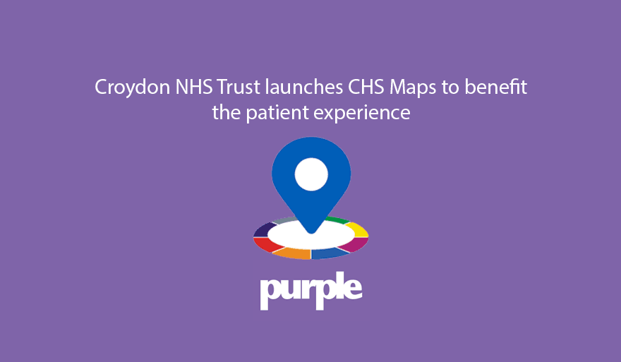
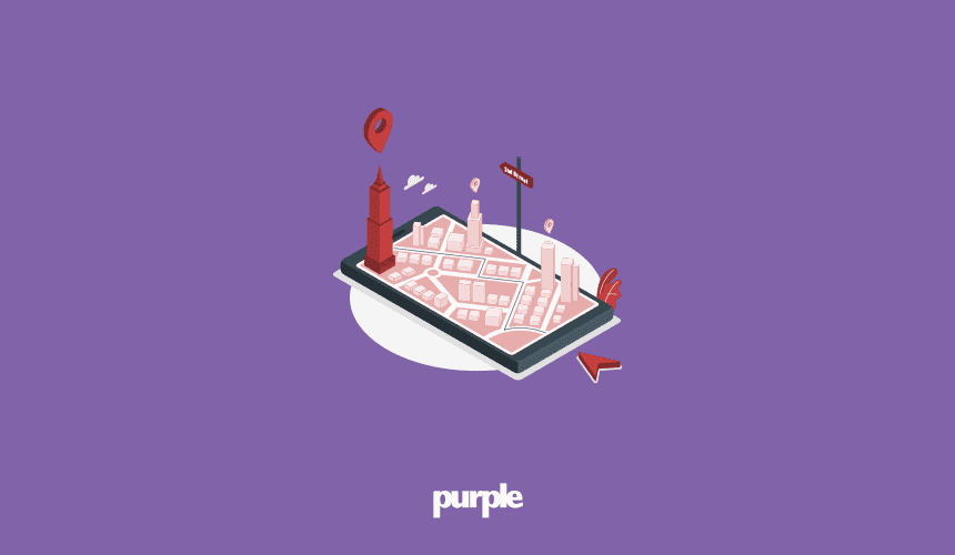
Croydon Health Services NHS Trust launches CHS Maps to benefit patient experience
Croydon Health Services NHS Trust has revolutionized its hospital signage by launching the country's first interactive mapping service.

Why VCU Health chose Purple Wayfinding to improve patient and visitor experiences
Following an international RFP search, in July 2021 VCU Health System chose Purple to implement a wayfinding solution on its growing downtown medical campus
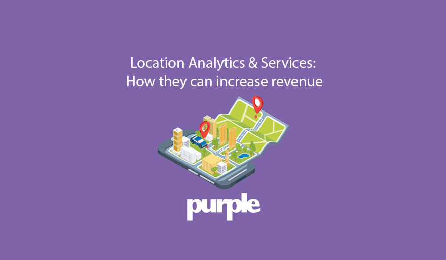
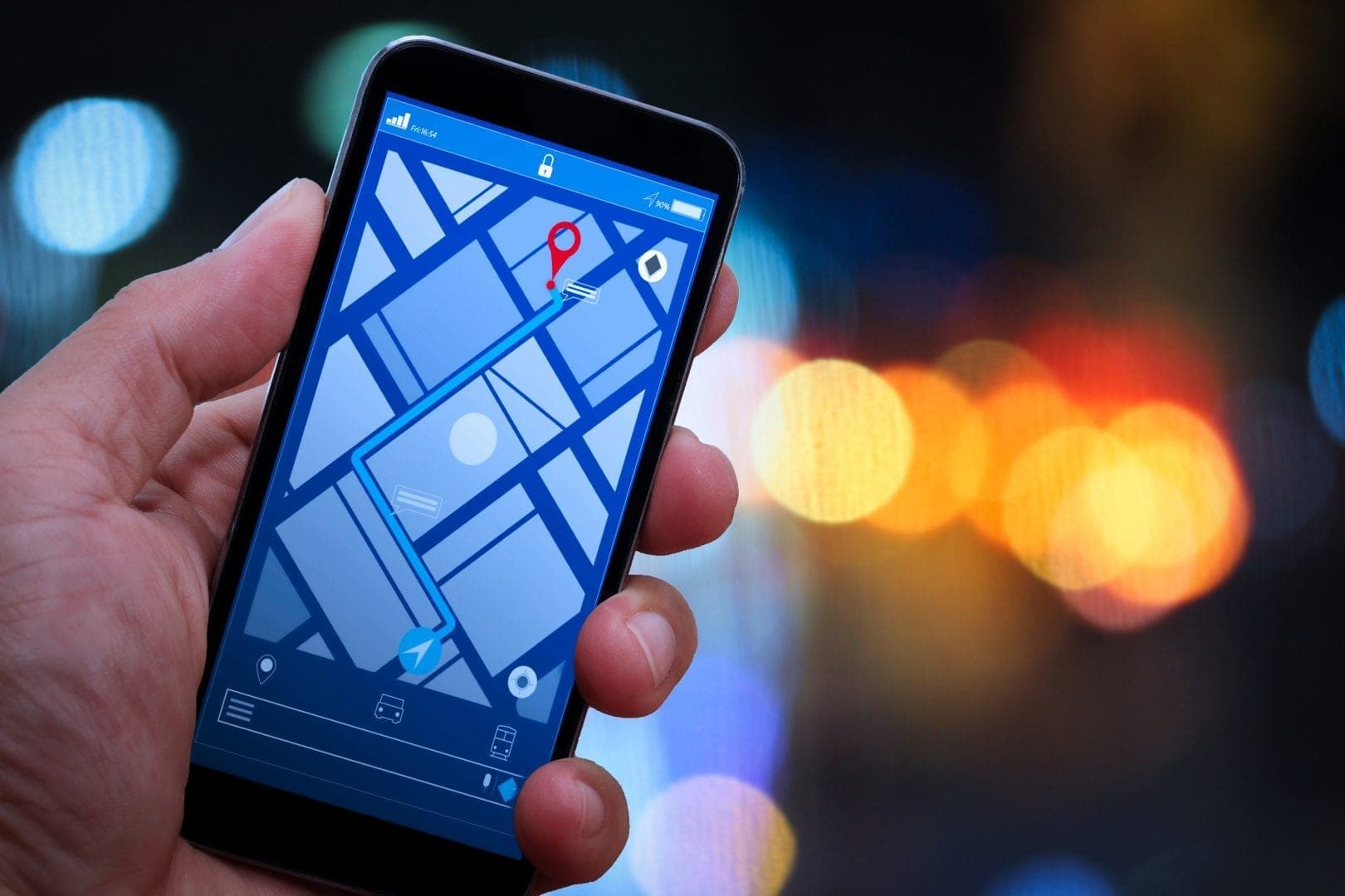
Location Analytics & Services: How They Can Increase Revenue
The first commercial GPS was released in 1990 as a revolutionary built-in feature for the Mazda Eunos Cosmo, and yet in 2021 we can order an Uber through a

Automating your visitor count, achieving 98% people counting accuracy
Manually counting people in and out is an inefficient way to collect visitor numbers - in addition, many venues are having to hire additional staff members
The role of mobile wayfinding apps on University Campuses
What is Campus Wayfinding Campus wayfinding is a system designed to help users navigate campus environments. It's a solution for students, staff, and visitors
The History of Wayfinding
Find out how it all started, what solutions are currently revolutionizing physical spaces, and what to prepare for in the future. Wayfinding, albeit in it
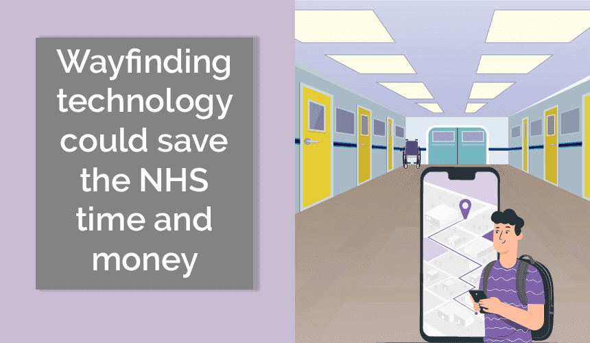
How wayfinding technology could reduce average wait times and wasted spend in the NHS
Hospitals are notoriously difficult to navigate, all corridors seem nearly identical, every door leads to somewhere you're sure you've just been 3 minutes
Wayfinding Technology - What is it?
Wayfinding is defined as information that assists with guiding people in a physical environment or enhancing their experience within it, you know the signs they
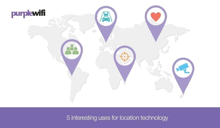
5 interesting uses for location technology
Location-based love Proximity-based social networking is becoming the norm and there has recently been a shift toward app development to help us widen our

WiFi or beacons for location-based services?
Location-based services are now the norm. From GPS to Google Maps on our phones, we all understand that our devices can communicate with satellites or other
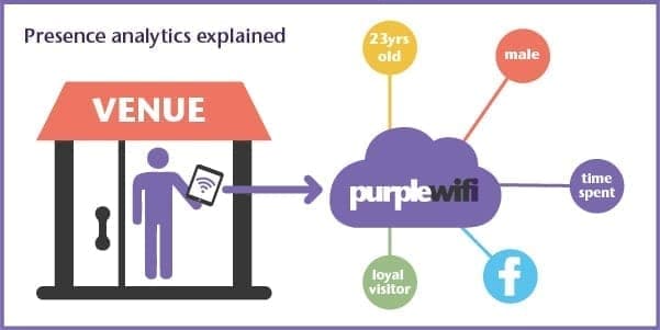
WiFi presence analytics explained
Presence Analytics seen using WiFi Analytics reporting bridges the gap between Google Analytics and the real world, offering real-time data and reporting using
Meraki launches presence analytics API
As a Meraki Technology Partner we were very excited when we got our hands on the presence API several weeks ago. This is something we have been doing with our
See Purple in action
Book a 20-minute demo and we'll show you how Purple's guest WiFi, captive portal, and analytics platform works for a venue like yours.
Go deeper with our WiFi guides
These step-by-step guides cover the topics behind the articles above, from setup to security and analytics.